
Best Flat Hikes In Marin: The Coastal Trail on Mt. Tamalpais
It’s time to take our Marin Hotels guests on another flat hike! Like our other Flat Hikes in Marin, the section of the Coastal Trail on Mt. Tam from the Pantoll Ranger’s Station to Willow Camp Fire Road offers lots of scenery for not a lot of effort. You’ll see when you click on that link: 8.2 miles from Pantoll Ranger’s Station to West Ridgecrest Blvd. You can do the whole out and back or only part of it since you can turn around at any point on the trail.
Getting There. You’ll park at the Pantoll Ranger Station, about 20 minutes from Acqua Hotel and Mill Valley Inn and 30 minutes from Waters Edge Hotel.
Note: $8 parking fee, cash or cards, payable at the Ranger’s booth. This lot fills up early on the weekends, so rise and shine if you’re doing this on a Saturday, Sunday, or holiday. Also: use the facilities here as there aren’t any on the trail.
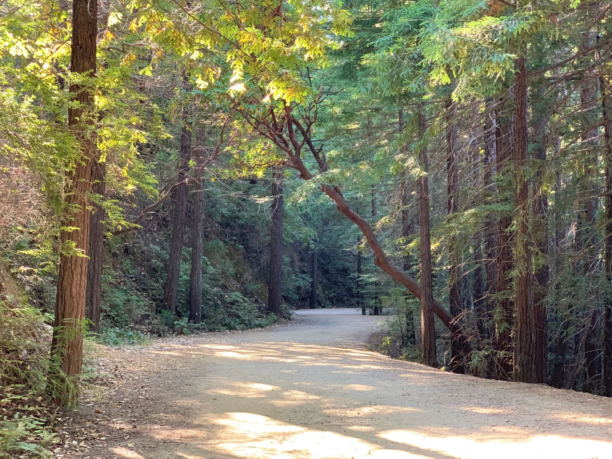
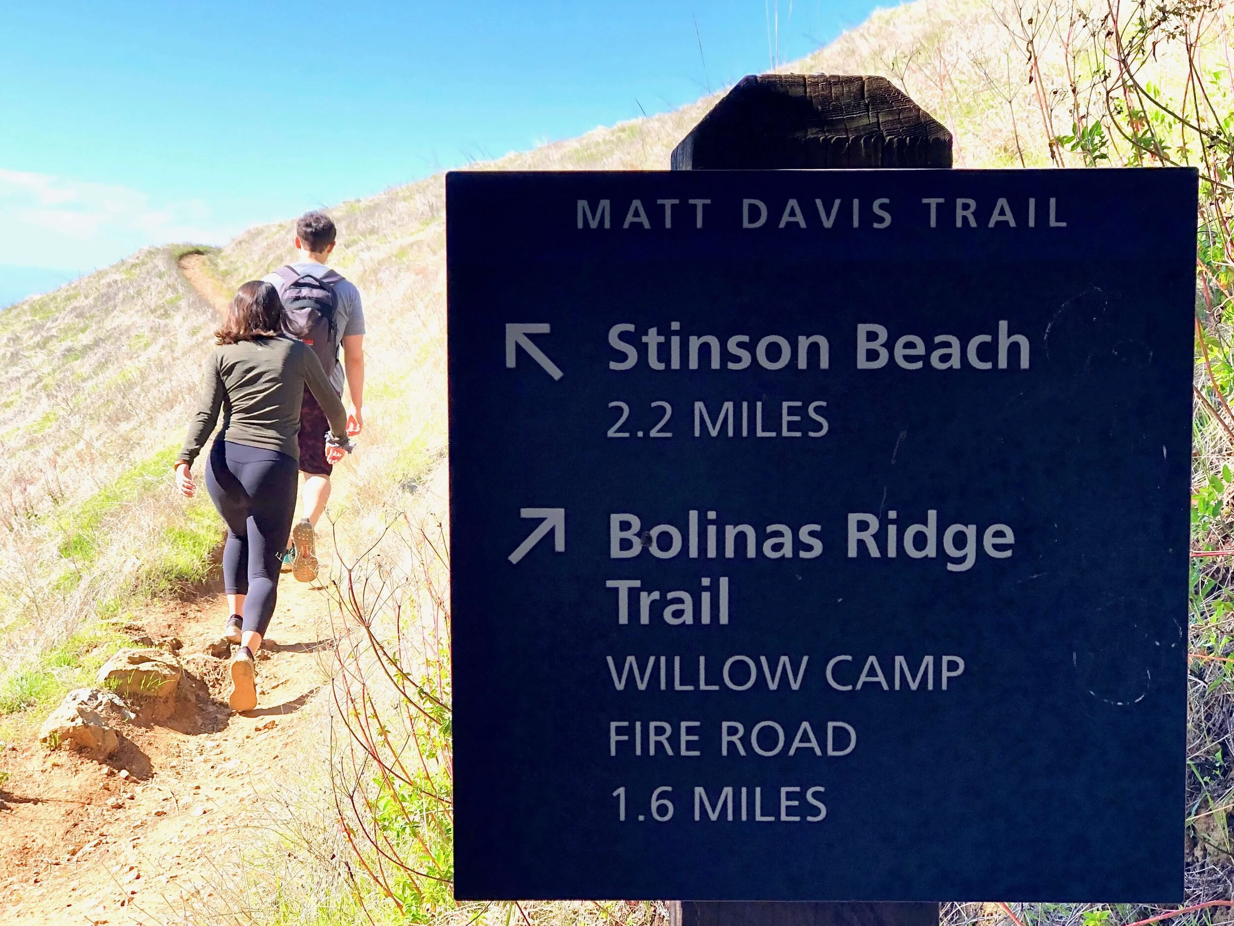
The Coastal Trail Hike. You’ll cross over 2-lane Panoramic Highway from the Pantoll Ranger Station and follow the Matt Davis Trailhead through the woods for about 1.5 miles to the Bolinas Ridge Trail. Go right to take the Bolinas Ridge Trail.
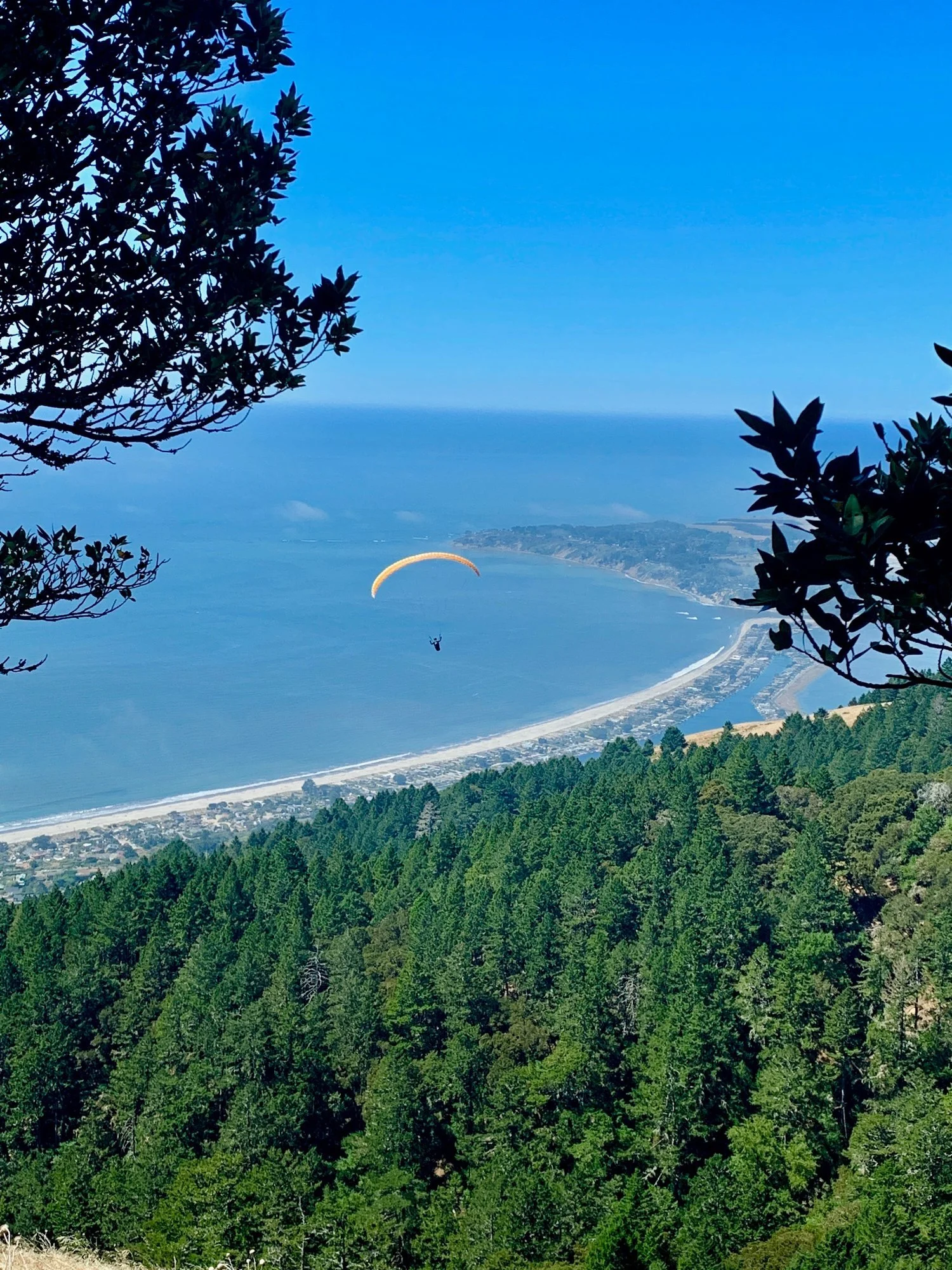
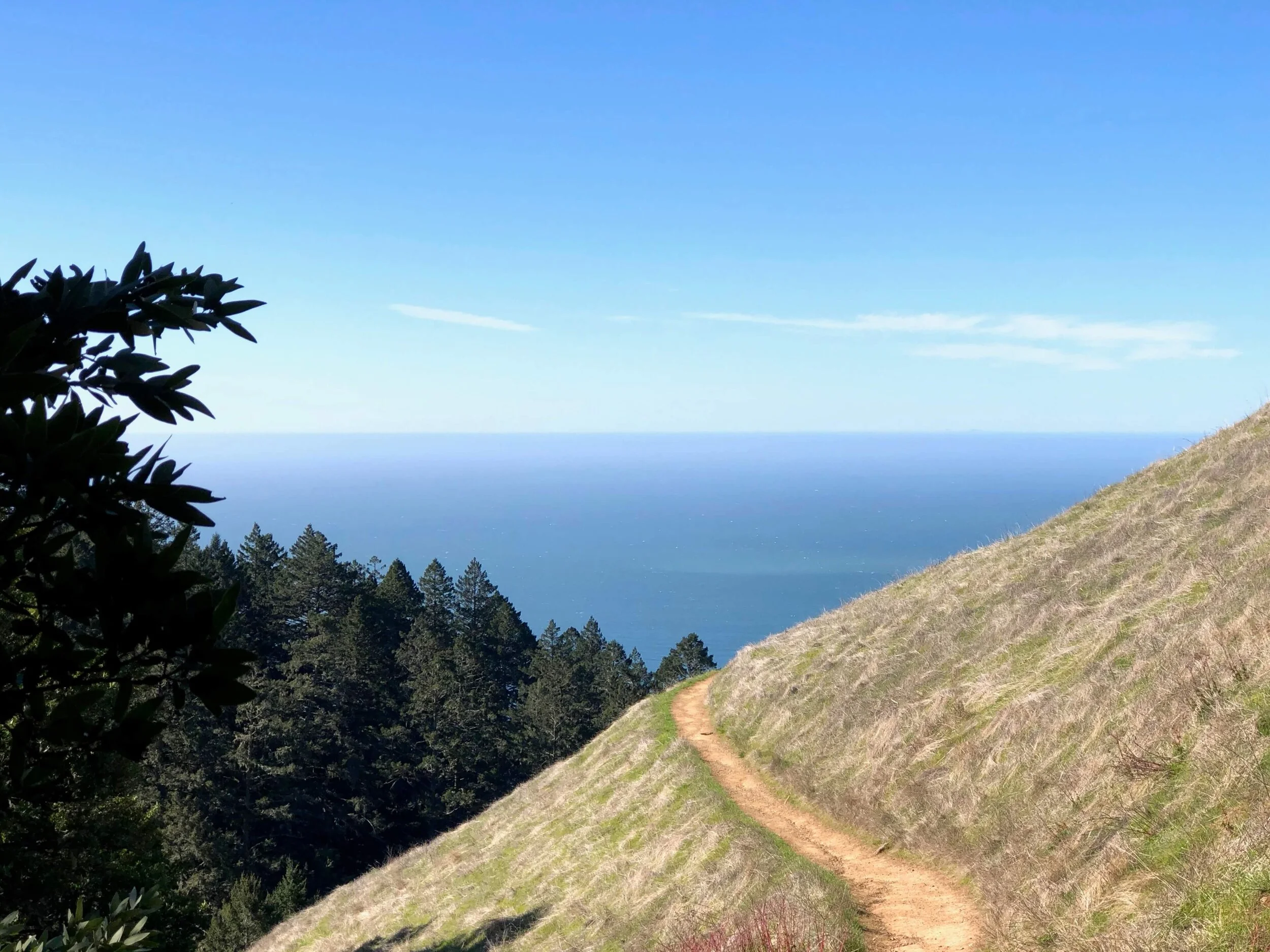
At this point you are on the open trail with dramatic ocean views to your left and rolling hills all around you. We like to walk about 45 minutes on the Bolinas Ridge Trail in one direction, and then turn around and head back the same way we came. In that amount of time, you may make it to the Willow Camp Fire Road for your turn around point. Depends on how many times you stopped to say wow or whether you stopped to just enjoy the view!

If you want the full 8.2 mile out and back, keep going until you hit West Ridgecrest Blvd and then turn back. More details here. Again, you can turn around at any point, it’s not a requirement to go to any of the official turn around points noted in that link.
Note: hats, sunscreen, etc since most of this trail is not covered.
Just a really lovely way to spend a few hours on Mt Tam!
For more Flat Hikes in Marin:
Abbots Lagoon in Pt. Reyes National Seashore
Tennessee Valley in the Golden Gate National Recreation Area
Bon Tempe Lake in the Marin Municipal Water District
The Lookout on Mt. Tam’s East Peak
Tennessee Point Trail in the Marin Headlands
See you out there!